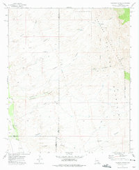
1972 Map of Kielberg Canyon
USGS Topo · Published 1975About this map
The Galiuro Mountains dominate this high-desert landscape in southeastern Arizona, where the remote canyons and ridges are preserved within the Coronado National Forest and the Galiuro Wilderness. Human presence is defined by historic water management and ranching infrastructure, such as the YLE Ranch, numerous corrals, and the YLE Tank. The map tracks the vital drainage systems of Kielberg Canyon, Peters Wash, and Cienega Wash, which eventually feed toward the San Pedro River in the southwestern corner. For those interested in regional industry and mineral history, the 16 to 1 Mine is situated along the steep eastern slopes. The survey also carefully delineates the county intersections of Graham, Pinal, and Pima, providing a clear view of how these political boundaries cross the canyon lands.
Find a feature on this map
29 named features on this map. Tap any name to fly to it.
Don’t see what you’re looking for? This feature index may not catch every label — zoom into the map to look around manually.
Map Details
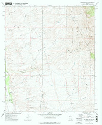
Editions of this 1972 Kielberg Canyon Map
2 editions found
Other maps of this area

1904 · Tucson
USGS Topo · 1:125,000

1905 · Tucson
USGS Topo · 1:125,000

1911 · Winkelman
USGS Topo · 1:125,000

1913 · Winkelman
USGS Topo · 1:125,000

1938 · Galiuro Mts
USGS Topo · 1:48,000

1943 · Galiuro Mts
USGS Topo · 1:62,500

1945 · Redington
USGS Topo · 1:62,500

1948 · Clark Ranch
USGS Topo · 1:24,000

1948 · Mammoth
USGS Topo · 1:62,500

1948 · Peppersauce Wash
USGS Topo · 1:24,000