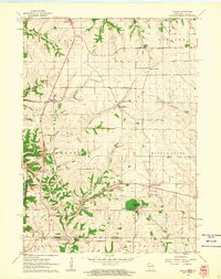
1961 Map of Kieler
USGS Topo · Published 1962About this map
The Sinsinawa River and the Menominee River flow south toward the Mississippi River in this 1961 depiction of southwestern Grant County. The landscape is dotted with small rural crossroads and religious sites, such as the prominent Sinsinawa Mound and the community of Sinsinawa at the base of its slopes. The area is defined by a dense network of valleys, or hollows, including Plum Hollow, Dry Hollow, and Bethel Hollow, which break the upland plateaus between the villages of Kieler, Dickeyville, and Louisburg. Several local landmarks cater to genealogists, including Jamestown Cem, St Joseph Cem, and St Clara Cem, alongside parochial and district schools like St Joseph Sch and Vandra Sch. The southwestern corner includes a portion of the Upper Mississippi River Wildlife and Fish Refuge, marking the transition to the river's broad floodplain near Sandy Hook.
Find a feature on this map
37 named features on this map. Tap any name to fly to it.
Don’t see what you’re looking for? This feature index may not catch every label — zoom into the map to look around manually.
Map Details
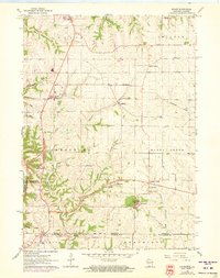
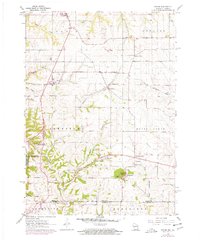
Editions of this 1961 Kieler Map
3 editions found
Other maps of this area

1900 · Lancaster
USGS Topo · 1:125,000

1901 · Peosta
USGS Topo · 1:125,000

1902 · Mineral Point
USGS Topo · 1:125,000

1904 · Lancaster
USGS Topo · 1:125,000

1908 · Lancaster
USGS Topo · 1:125,000

1911 · Galena
USGS Topo · 1:62,500

1913 · Galena
USGS Topo · 1:62,500

1935 · East Dubuque
USGS Topo · 1:62,500

1940 · East Dubuque
USGS Topo · 1:62,500

1952 · Platteville
USGS Topo · 1:24,000