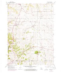
1961 Map of Kieler
USGS Topo · Published 1978About this map
Sinsinawa Mound dominates the southern landscape of this tri-state border region, providing a prominent landmark near the community of Sinsinawa. This 1961 survey, later photorevised to show developments through the early 1970s, captures the rural character of Grant County just north of the Base Line and the Illinois border. The settlement pattern is defined by several small crossroads and villages like Kieler, Louisburg, and Fair Play, connected by a network of winding roads and local hollows such as Bethel Hollow and Plum Hollow. Along the western edge, the Upper Mississippi River Wildlife and Fish Refuge marks the transition to the river's floodplain. The map is particularly useful for local history, documenting numerous limestone quarries that once dotted the hillsides and essential community sites like St Joseph Sch and the Jamestown Cem.
Find a feature on this map
37 named features on this map. Tap any name to fly to it.
Don’t see what you’re looking for? This feature index may not catch every label — zoom into the map to look around manually.
Map Details
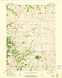
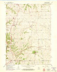
Editions of this 1961 Kieler Map
3 editions found
Other maps of this area

1900 · Lancaster
USGS Topo · 1:125,000

1901 · Peosta
USGS Topo · 1:125,000

1902 · Mineral Point
USGS Topo · 1:125,000

1904 · Lancaster
USGS Topo · 1:125,000

1908 · Lancaster
USGS Topo · 1:125,000

1911 · Galena
USGS Topo · 1:62,500

1913 · Galena
USGS Topo · 1:62,500

1935 · East Dubuque
USGS Topo · 1:62,500

1940 · East Dubuque
USGS Topo · 1:62,500

1952 · Platteville
USGS Topo · 1:24,000