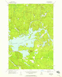
1956 Map of Kiernan
USGS Topo · Published 1957About this map
The Iron Range State Forest dominates this mid-century landscape, where the waters of the Michigamme Reservoir define the local geography. The reservoir's vast footprint, held by Way Dam and Hemlock Falls Dam, dramatically altered the natural course of the Michigamme River and its surrounding wetlands. Industry and early logging presence are evident through the McMillan Camp and the rail line of the Chicago Milwaukee St Paul and Pacific, which cuts across the southern portion of the quadrangle near the settlement of Kiernan. To the east, the terrain rises toward Michigamme Mountain, overlooking a network of smaller glacial lakes like Lake Ellen and Butler Lake. This 1950s survey captures the region as a hybrid of managed timberland, hydroelectric infrastructure, and recreational waters, before modern development further altered the remote Upper Peninsula character.
Find a feature on this map
30 named features on this map. Tap any name to fly to it.
Don’t see what you’re looking for? This feature index may not catch every label — zoom into the map to look around manually.
Map Details
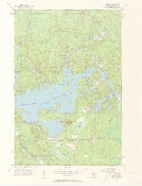
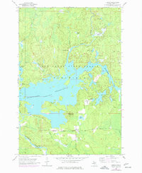
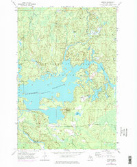
Editions of this 1956 Kiernan Map
4 editions found
Other maps of this area

1895 · Ned Lake
USGS Topo · 1:62,500

1899 · Sagola
USGS Topo · 1:62,500

1899 · Witbeck
USGS Topo · 1:62,500

1899 · Crystal Falls
USGS Topo · 1:62,500

1944 · Crystal Falls
USGS Topo · 1:24,000

1945 · Kelso Junction
USGS Topo · 1:24,000

1946 · Crystal Falls
USGS Topo · 1:31,680

1947 · Kiernan
USGS Topo · 1:24,000

1947 · Lake Mary
USGS Topo · 1:24,000

1947 · Kelso Junction
USGS Topo · 1:24,000