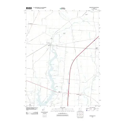
2010 Map of Kilbourne
USGS Topo · Published 2010About this map
Kilbourne serves as a central hub in this Delaware County landscape, situated near the headwaters of Williams Lake and the Alum Creek waterway. The settlement pattern reflects a deeply rooted rural community, anchored by the Kilbourne Post Office and multiple burial grounds including Old Kilbourne Cemetery and Greenmound Cemetery. The terrain is defined by a dense network of watercourses such as Salt Well Run, Bald Lick, and Longwell Run, which feed into the larger creek system. Further south, the village of Berkshire stands near the Berkshire Cemetery, while aviation footprints like Bohannan Airport and the Davis Family Airport indicate a mix of agricultural and private recreational land use. To the north, Stantontown Cemetery and Clark Lake mark the transitions between local townships, while the presence of Camp Mahoney points to the area's role as a site for outdoor community gatherings.
Find a feature on this map
68 named features on this map. Tap any name to fly to it.
Don’t see what you’re looking for? This feature index may not catch every label — zoom into the map to look around manually.
Map Details
Editions of this 2010 Kilbourne Map
This is the sole edition of this map. No revisions or reprints were ever made.
Other maps of this area

1901 · Dublin
USGS Topo · 1:62,500

1902 · Westerville
USGS Topo · 1:62,500

1903 · Dublin
USGS Topo · 1:62,500

1904 · Westerville
USGS Topo · 1:62,500

1915 · Marengo
USGS Topo · 1:62,500

1924 · Delaware
USGS Topo · 1:62,500

1925 · Delaware
USGS Topo · 1:62,500

1943 · Marengo
USGS Topo · 1:62,500

1944 · Delaware
USGS Topo · 1:62,500

1950 · Marion
USGS Topo · 1:250,000