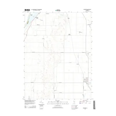
2015 Map of Kilbourne
USGS Topo · Published 2015About this map
The Illinois River creates the western boundary of this Mason County landscape, shaping a terrain of backwater lakes and islands. Matanzas Island and the shores of Matanzas Lake define the northwestern corner, where the small community of Matanzas Beach sits near the larger Matanzas settlement. The local topography is characterized by many small depressions and rises, with drainage provided by the meandering Jordan Cr and White Oak Cr.
Find a feature on this map
45 named features on this map. Tap any name to fly to it.
Don’t see what you’re looking for? This feature index may not catch every label — zoom into the map to look around manually.
Map Details
Editions of this 2015 Kilbourne Map
This is the sole edition of this map. No revisions or reprints were ever made.
Other maps of this area

1925 · Havana
USGS Topo · 1:62,500

1929 · Manito
USGS Topo · 1:62,500

1930 · Chandlerville
USGS Topo · 1:62,500

1932 · Chandlerville
USGS Topo · 1:62,500

1932 · Manito
USGS Topo · 1:62,500

1933 · Petersburg
USGS Topo · 1:62,500

1938 · Petersburg
USGS Topo · 1:62,500

1947 · Havana
USGS Topo · 1:24,000

1948 · Duncan Mills
USGS Topo · 1:24,000
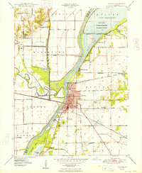
1948 · Havana
USGS Topo · 1:24,000