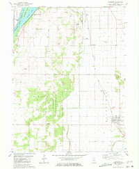
1981 Map of Kilbourne
USGS Topo · Published 1981About this map
The Illinois River corridor in Mason County defines the western edge of this 1981 survey, where Matanzas Island and Matanzas Lake sit adjacent to the riverside community of Matanzas Beach. Moving inland, the landscape transitions from the river bottoms to the expansive Mason County State Wildlife Refuge and Recreation Area, a significant tract of managed conservation land characterized by its many small depressions and irregular topography.
Find a feature on this map
30 named features on this map. Tap any name to fly to it.
Don’t see what you’re looking for? This feature index may not catch every label — zoom into the map to look around manually.
Map Details
Editions of this 1981 Kilbourne Map
This is the sole edition of this map. No revisions or reprints were ever made.
Other maps of this area
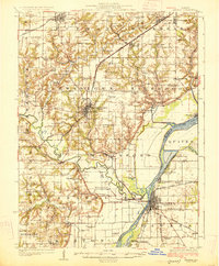
1925 · Havana
USGS Topo · 1:62,500
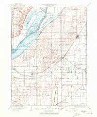
1929 · Manito
USGS Topo · 1:62,500
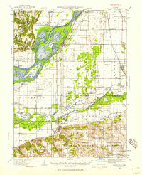
1930 · Chandlerville
USGS Topo · 1:62,500
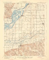
1932 · Chandlerville
USGS Topo · 1:62,500
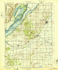
1932 · Manito
USGS Topo · 1:62,500
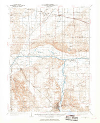
1933 · Petersburg
USGS Topo · 1:62,500
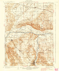
1938 · Petersburg
USGS Topo · 1:62,500
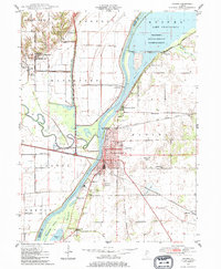
1947 · Havana
USGS Topo · 1:24,000
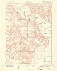
1948 · Duncan Mills
USGS Topo · 1:24,000
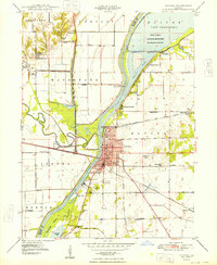
1948 · Havana
USGS Topo · 1:24,000