Loading...
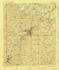
Loading map...1940 Map of Kilgore
USGS Topo · Published 1940About this map
The Sabine River winds through the northern portion of this East Texas survey, creating a complex landscape of oxbows like Horseshoe Lake and swampy bottomlands. Centered on Kilgore, the map captures the region during a period of intense industrial activity, evident in the dense network of roads and specialized settlements such as Oil City and Swamp City. The infrastructure of the era is well-defined, showing the intersection of the International-Great Northern and Missouri Pacific railroads.
Find a feature on this map
98 named features on this map. Tap any name to fly to it.
Don’t see what you’re looking for? This feature index may not catch every label — zoom into the map to look around manually.
Map Details
Date Portrayed1940
Date Published1940
PublisherU.S. Geological Survey
Map TypeTopographic
Scale1:62,500
Physical Dimensions16.7 x 19.8 inches
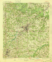
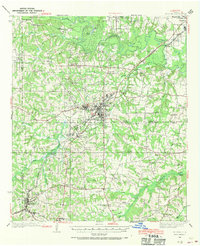
Editions of this 1940 Kilgore Map
2 editions found
Historical Maps of Longview Through Time
Featured Locations
Source Details
SourceU.S. Geological Survey
CopyrightPublic Domain