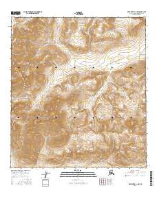
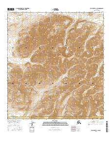
2016 Map of Killik River A-1 NW
USGS Topo · Published 2016About this map
Gates of the Arctic National Park encompasses this high-latitude terrain, where the northern slopes of the Brooks Range drop toward the Arctic coastal plain. The landscape is defined by the headwaters of the Okpikruak River, which enters the northwestern corner of the quadrangle, and the winding course of Kugukpak Cr through the central and eastern sections. In the southern reach, the drainage of Suluak Cr marks the boundary of the local watershed. This 2016 survey documents the remote wilderness character of the region, showing the intricate contour intervals of unnamed peaks and ridges. The absence of roads, structures, or established trails highlights the preserved, roadless state of the national park, serving as a baseline for the geography of the North Slope's interior.
Find a feature on this map
8 named features on this map. Tap any name to fly to it.
Don’t see what you’re looking for? This feature index may not catch every label — zoom into the map to look around manually.
Map Details
Editions of this 2016 Killik River A-1 NW Map
This is the sole edition of this map. No revisions or reprints were ever made.
Other maps of this area

1951 · Killik River
USGS Topo · 1:250,000

1956 · Killik River
USGS Topo · 1:250,000
1986 · Killik River A-2
USGS Topo · 1:63,360
1986 · Killik River B-2
USGS Topo · 1:63,360
1986 · Killik River A-1
USGS Topo · 1:63,360
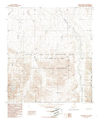
1986 · Killik River B-1
USGS Topo · 1:63,360
2016 · Killik River B-2 SE
USGS Topo · 1:25,000
2016 · Killik River A-2 NE
USGS Topo · 1:25,000
2016 · Killik River B-1 SW
USGS Topo · 1:25,000
2016 · Killik River A-1 SW
USGS Topo · 1:25,000