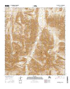
2016 Map of Killik River B-1 SW
USGS Topo · Published 2016About this map
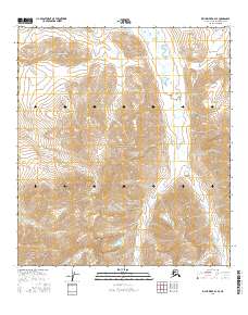
Gates of the Arctic National Park dominates this high-latitude terrain within the North Slope, Alaska, where the landscape is defined by the drainage systems of the Brooks Range foothills. The Middle Fork Okpikruak River winds through the western portion of the quadrangle, serving as a primary corridor for the region's hydrology. The map details the intricate network of alpine tributaries, including Verdant Cr, Inyugakulgit Cr, and Fire Cr, which carve through the topographic relief. This 2016 survey illustrates the pristine environmental character of the wilderness before more recent climatic shifts might alter its seasonal water flow. The absence of roads or permanent structures reflects the protected status of the park, highlighting a vast area where natural geographic boundaries and watercourses remain the primary landmarks for navigation and study.
Find a feature on this map
11 named features on this map. Tap any name to fly to it.
Don’t see what you’re looking for? This feature index may not catch every label — zoom into the map to look around manually.
Map Details
Editions of this 2016 Killik River B-1 SW Map
This is the sole edition of this map. No revisions or reprints were ever made.
Other maps of this area

1951 · Killik River
USGS Topo · 1:250,000

1956 · Killik River
USGS Topo · 1:250,000
1986 · Killik River A-2
USGS Topo · 1:63,360
1986 · Killik River B-2
USGS Topo · 1:63,360
1986 · Killik River A-1
USGS Topo · 1:63,360
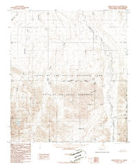
1986 · Killik River B-1
USGS Topo · 1:63,360
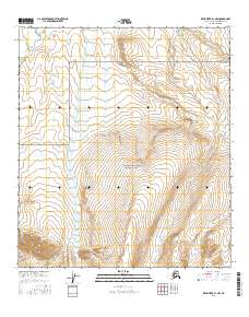
2016 · Killik River B-1 NW
USGS Topo · 1:25,000
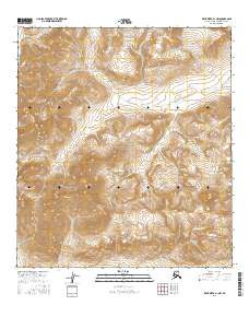
2016 · Killik River A-1 NW
USGS Topo · 1:25,000
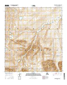
2016 · Killik River B-2 NE
USGS Topo · 1:25,000
2016 · Killik River B-2 SE
USGS Topo · 1:25,000