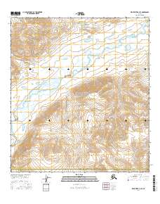
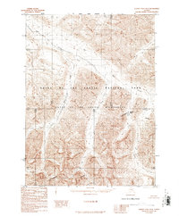
2016 Map of Killik River A-3 SE
USGS Topo · Published 2016About this map
Gates Of The Arctic National Park encompasses much of this interior Alaskan landscape, where the massive watershed of the Killik River dictates the region's geography. The river flows northward across the quadrangle, joined by several significant tributaries including Ayakalak Cr and Sinuk Cr. This modern survey illustrates the unpeopled character of the central Brooks Range, with no roads or permanent settlements appearing on the sheet. The landscape is defined by its drainage patterns, with April Creek in the southwest and Kolrukuk Cr in the east carving through the high-elevation terrain. The map also delineates the administrative boundary where the North Slope Borough meets the Yukon-Koyukuk Census Area, providing a clear view of the intersection between federal parklands and local borough jurisdictions in the Alaskan wilderness.
Find a feature on this map
13 named features on this map. Tap any name to fly to it.
Don’t see what you’re looking for? This feature index may not catch every label — zoom into the map to look around manually.
Map Details
Editions of this 2016 Killik River A-3 SE Map
This is the sole edition of this map. No revisions or reprints were ever made.
Other maps of this area

1951 · Survey Pass
USGS Topo · 1:250,000

1951 · Killik River
USGS Topo · 1:250,000

1956 · Survey Pass
USGS Topo · 1:250,000

1956 · Killik River
USGS Topo · 1:250,000

1964 · Survey Pass
USGS Topo · 1:250,000

1966 · Survey Pass
USGS Topo · 1:250,000
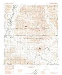
1986 · Killik River A-2
USGS Topo · 1:63,360
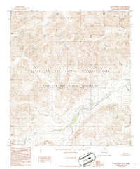
1986 · Killik River A-3
USGS Topo · 1:63,360
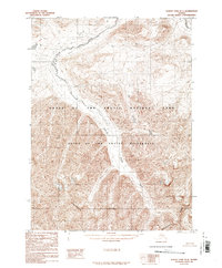
1986 · Survey Pass D-4
USGS Topo · 1:63,360
1986 · Survey Pass D-3
USGS Topo · 1:63,360