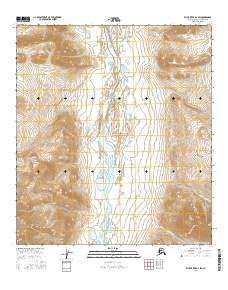
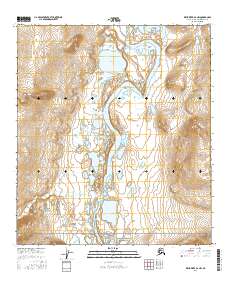
2016 Map of Killik River B-2 SW
USGS Topo · Published 2016About this map
Gates of the Arctic National Park encompasses this high-latitude terrain, where the wide valley of the Killik River serves as the central drainage for the surrounding slopes. This 2016 survey illustrates a landscape defined by glacial and fluvial action, where braided channels and tundra ponds gather water from numerous seasonal tributaries. These include Nigaktoviakvik Cr and Aniakvik Cr to the east, and Ivisak Cr cutting through the western elevations. The map reveals the immense scale of the Arctic wilderness within the Brooks Range, showing a place where traditional naming conventions follow the natural flow of water across a roadless expanse.
Find a feature on this map
5 named features on this map. Tap any name to fly to it.
Don’t see what you’re looking for? This feature index may not catch every label — zoom into the map to look around manually.
Map Details
Editions of this 2016 Killik River B-2 SW Map
This is the sole edition of this map. No revisions or reprints were ever made.
Other maps of this area

1951 · Killik River
USGS Topo · 1:250,000

1956 · Killik River
USGS Topo · 1:250,000
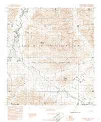
1986 · Killik River A-2
USGS Topo · 1:63,360
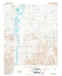
1986 · Killik River B-2
USGS Topo · 1:63,360
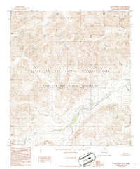
1986 · Killik River A-3
USGS Topo · 1:63,360
1986 · Killik River B-3
USGS Topo · 1:63,360
2016 · Killik River A-2 NW
USGS Topo · 1:25,000
2016 · Killik River A-3 NE
USGS Topo · 1:25,000
2016 · Killik River B-2 NE
USGS Topo · 1:25,000
2016 · Killik River B-2 NW
USGS Topo · 1:25,000