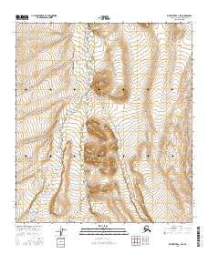
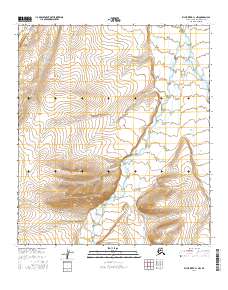
2016 Map of Killik River C-1 SW
USGS Topo · Published 2016About this map
The Okpikruak River and its major tributary, the Middle Fork Okpikruak River, dominate this section of the North Slope. The landscape is characterized by the complex drainage patterns of the Verdant Cr and Okangvik Cr, which carve through the high-latitude terrain within the boundaries of the t10s r7w and t11s r7w townships. This 2016 survey documents the remote hydrography of the region prior to further environmental or geological shifts, providing a precise record of the watercourses that define this part of the Alaskan wilderness. The map's contour data reveals the subtle yet significant elevation changes between these converging forks, which are essential for understanding the seasonal flow and land use of the North Slope Borough.
Find a feature on this map
10 named features on this map. Tap any name to fly to it.
Don’t see what you’re looking for? This feature index may not catch every label — zoom into the map to look around manually.
Map Details
Editions of this 2016 Killik River C-1 SW Map
This is the sole edition of this map. No revisions or reprints were ever made.
Other maps of this area

1951 · Killik River
USGS Topo · 1:250,000

1956 · Killik River
USGS Topo · 1:250,000
1986 · Killik River B-2
USGS Topo · 1:63,360
1986 · Killik River C-2
USGS Topo · 1:63,360
1986 · Killik River B-1
USGS Topo · 1:63,360
1986 · Killik River C-1
USGS Topo · 1:63,360
2016 · Killik River B-1 NW
USGS Topo · 1:25,000
2016 · Killik River C-2 SE
USGS Topo · 1:25,000
2016 · Killik River B-2 NE
USGS Topo · 1:25,000
2016 · Killik River C-1 NW
USGS Topo · 1:25,000