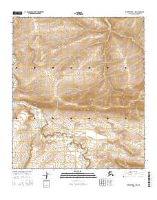
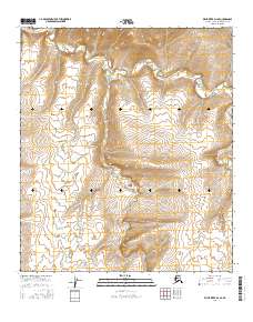
2016 Map of Killik River D-3 SW
USGS Topo · Published 2016About this map
Heather Cr and Aupuk Cr define the drainage patterns of this remote northern landscape within the Alaska-North Slope Borough. In this 2016 survey, the land is segmented by the Public Land Survey System into townships including t7s r12w and t8s r11w, illustrating the intersection of modern cartographic precision and wilderness. The topography is dominated by dramatic elevation shifts, where the winding course of Heather Cr cuts through the southern reaches of the quadrangle. This area represents a portion of the Arctic frontier where natural watercourses remain the primary landmarks across the expansive tundra.
Find a feature on this map
8 named features on this map. Tap any name to fly to it.
Don’t see what you’re looking for? This feature index may not catch every label — zoom into the map to look around manually.
Map Details
Editions of this 2016 Killik River D-3 SW Map
This is the sole edition of this map. No revisions or reprints were ever made.
Other maps of this area

1951 · Killik River
USGS Topo · 1:250,000

1956 · Killik River
USGS Topo · 1:250,000
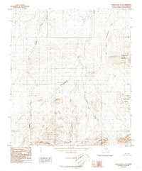
1986 · Killik River C-3
USGS Topo · 1:63,360
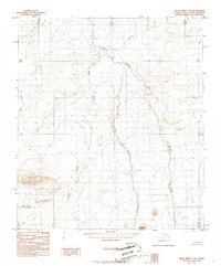
1986 · Killik River C-4
USGS Topo · 1:63,360
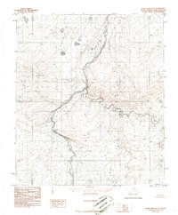
1986 · Killik River D-4
USGS Topo · 1:63,360
1986 · Killik River D-3
USGS Topo · 1:63,360
2016 · Killik River D-4 NE
USGS Topo · 1:25,000
2016 · Killik River C-4 NE
USGS Topo · 1:25,000
2016 · Killik River D-3 NW
USGS Topo · 1:25,000
2016 · Killik River D-4 SE
USGS Topo · 1:25,000