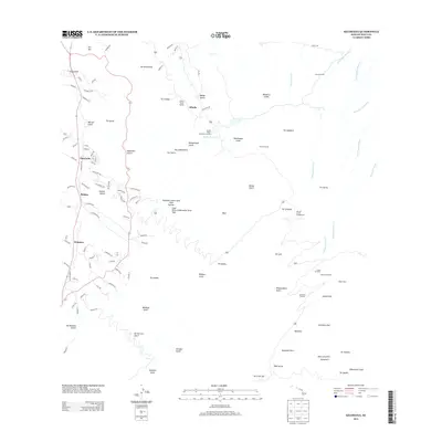
2013 Map of Kilohana
USGS Topo · Published 2013About this map
Haleakalā Crater dominates the southeastern portion of this landscape, its interior marked by volcanic peaks and features like Kalu'uoka'o'o Kama'oli'i and Pu'uomāui. The terrain is defined by a series of steep drainages, including Māliko Gulch and Waikamoi Stream, which descend from the high elevations toward the north. In the lower-lying western sections, settlements such as Waiakoa and 'Ōma'opio are established along the road networks. Infrastructure vital to the region is visible through the Kula Pipeline and the Olinda Reservoir, supporting the agricultural and residential communities on the slopes. Significant geologic interest is found in the Puuhako Crater Lava Tube System and Cape Kinau Underwater Lava Tube, highlighting the unique subterranean volcanic landscape of this Maui quadrangle. Notable visitor and facility landmarks include the Hosmer Grove Campground and the Olinda State Facility.
Find a feature on this map
113 named features on this map. Tap any name to fly to it.
Don’t see what you’re looking for? This feature index may not catch every label — zoom into the map to look around manually.
Map Details
Editions of this 2013 Kilohana Map
This is the sole edition of this map. No revisions or reprints were ever made.
Other maps of this area

1954 · Maui
USGS Topo · 1:250,000

1954 · Paia
USGS Topo · 1:24,000

1954 · Puu O Kali
USGS Topo · 1:24,000

1954 · Makena
USGS Topo · 1:24,000

1957 · Kilohana
USGS Topo · 1:24,000

1957 · Haiku
USGS Topo · 1:24,000

1957 · Lualailua Hills
USGS Topo · 1:24,000

1957 · Nahiku
USGS Topo · 1:24,000

1957 · Kaupo
USGS Topo · 1:24,000

1957 · Keanae
USGS Topo · 1:24,000