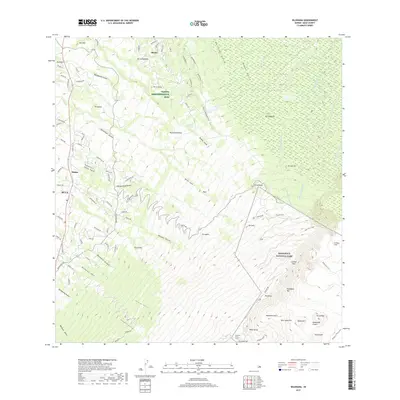
2017 Map of Kilohana
USGS Topo · Published 2017About this map
The dramatic volcanic landscape of East Maui dominates this survey, transitioning from the residential and agricultural slopes of the Upcountry into the protected wilderness of Haleakalā National Park. This high-altitude terrain is defined by its numerous volcanic peaks, including Pāka'ao'ao and Pu'u'ula'ula, which overlook the vast Haleakalā Crater and the steep escarpments of Leleiwi Pali. The map provides a detailed view of the infrastructure supporting this unique ecosystem, from the Olinda Administrative Site and Olinda Reservoir to the trails that navigate the Ko'olau Gap.
Find a feature on this map
104 named features on this map. Tap any name to fly to it.
Don’t see what you’re looking for? This feature index may not catch every label — zoom into the map to look around manually.
Map Details
Editions of this 2017 Kilohana Map
This is the sole edition of this map. No revisions or reprints were ever made.
Other maps of this area

1954 · Maui
USGS Topo · 1:250,000

1954 · Paia
USGS Topo · 1:24,000

1954 · Puu O Kali
USGS Topo · 1:24,000

1954 · Makena
USGS Topo · 1:24,000

1957 · Kilohana
USGS Topo · 1:24,000

1957 · Haiku
USGS Topo · 1:24,000

1957 · Lualailua Hills
USGS Topo · 1:24,000

1957 · Nahiku
USGS Topo · 1:24,000

1957 · Kaupo
USGS Topo · 1:24,000

1957 · Keanae
USGS Topo · 1:24,000