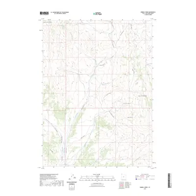
2023 Map of Kimbell Creek
USGS Topo · Published 2023About this map
The Grouse Creek Valley serves as the central corridor of this modern survey, bounded by the Goose Creek Mountains to the northwest and the Grouse Creek Mountains to the east. This high-elevation basin in Box Elder County is defined by an intricate network of seasonal drainages, including Cotton Creek, Little Pole Creek, and Poison Creek. The landscape reflects a traditional ranching and rangeland character, with infrastructure largely limited to a system of primitive and secondary roads. Primary access is facilitated by Goose Creek Rd and Cotton Thomas Rd, which follow the natural contours of the valley floor and foothills. The presence of features like Jack Hollow and various Kimball Creek variations, such as Middle Kimball Creek Rd, highlights the localized naming conventions used by early settlers and land managers to navigate this complex mountain terrain.
Find a feature on this map
20 named features on this map. Tap any name to fly to it.
Don’t see what you’re looking for? This feature index may not catch every label — zoom into the map to look around manually.
Map Details
Editions of this 2023 Kimbell Creek Map
This is the sole edition of this map. No revisions or reprints were ever made.
Other maps of this area

1954 · Brigham City
USGS Topo · 1:250,000

1958 · Brigham City
USGS Topo · 1:250,000

1959 · Cotton Thomas Basin
USGS Topo · 1:62,500

1959 · Yost
USGS Topo · 1:62,500

1962 · Brigham City
USGS Topo · 1:250,000

1971 · Potters Creek
USGS Topo · 1:24,000
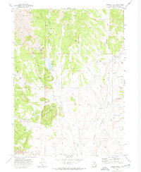
1971 · Grouse Creek
USGS Topo · 1:24,000
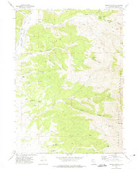
1971 · Ingham Canyon
USGS Topo · 1:24,000

1987 · Grouse Creek
USGS Topo · 1:100,000
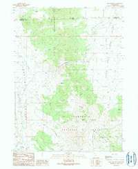
1990 · Buck Hollow
USGS Topo · 1:24,000