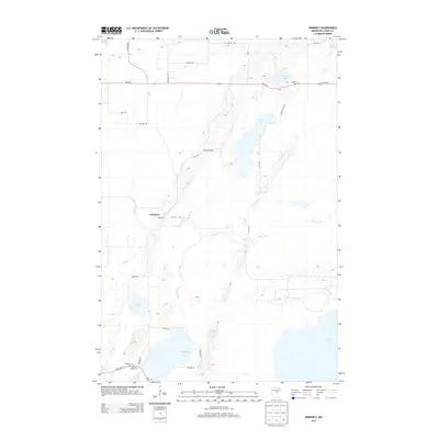
2013 Map of Kimberly
USGS Topo · Published 2013About this map
Kimberly and the surrounding Aitkin County wetlands define this landscape, where the meandering Rice River connects a complex network of glacial basins and drainage streams. This 2013 survey reveals a territory shaped by its hydrology, centered on the expansive Dam Lake and Rice Lake in the southern half of the quadrangle. The settlement pattern remains largely rural, with established transportation corridors like MN-210 cutting across the northern reaches, while smaller routes like Nature Ave and 257th Ave provide access to the lakeshores and forested tracts.
Find a feature on this map
35 named features on this map. Tap any name to fly to it.
Don’t see what you’re looking for? This feature index may not catch every label — zoom into the map to look around manually.
Map Details
Editions of this 2013 Kimberly Map
This is the sole edition of this map. No revisions or reprints were ever made.
Other maps of this area

1914 · Aitkin
USGS Topo · 1:62,500

1915 · Aitkin
USGS Topo · 1:62,500

1916 · Wealthwood
USGS Topo · 1:62,500

1953 · Duluth
USGS Topo · 1:250,000

1958 · Duluth
USGS Topo · 1:250,000

1969 · Thor NE
USGS Topo · 1:24,000

1969 · Thor
USGS Topo · 1:24,000

1970 · Kimberly
USGS Topo · 1:24,000

1970 · Mc Gregor
USGS Topo · 1:24,000

1970 · Palisade
USGS Topo · 1:24,000