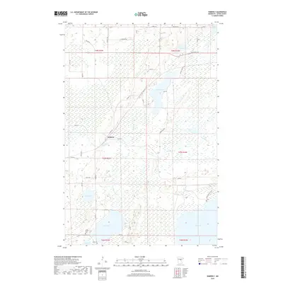
2019 Map of Kimberly
USGS Topo · Published 2019About this map
The settlement of Kimberly serves as the focal point for this Aitkin County survey, which reveals a landscape defined by an intricate network of wetlands and river systems. The Rice River meanders through the central and eastern portions of the quadrangle, connected to numerous water bodies including Portage Lake and Rice Lake. The area is notably dense with local historical markers, specifically cemeteries that provide essential data for genealogical research. Family and local legacies are preserved through sites like Anderson Cem, Lansford Cem, Saron Cem, and the Howard Private Cem. This region's hydrology is further characterized by the presence of Dam Lake and Camp Lake, with the Rice Lake Pool Trail offering a look at the modern recreational access to these traditional northern Minnesota wetlands. The map provides a precise record of the road network, including numerous township and county routes that navigate the low-lying terrain.
Find a feature on this map
52 named features on this map. Tap any name to fly to it.
Don’t see what you’re looking for? This feature index may not catch every label — zoom into the map to look around manually.
Map Details
Editions of this 2019 Kimberly Map
This is the sole edition of this map. No revisions or reprints were ever made.
Other maps of this area

1914 · Aitkin
USGS Topo · 1:62,500

1915 · Aitkin
USGS Topo · 1:62,500

1916 · Wealthwood
USGS Topo · 1:62,500

1953 · Duluth
USGS Topo · 1:250,000

1958 · Duluth
USGS Topo · 1:250,000

1969 · Thor NE
USGS Topo · 1:24,000

1969 · Thor
USGS Topo · 1:24,000

1970 · Kimberly
USGS Topo · 1:24,000

1970 · Mc Gregor
USGS Topo · 1:24,000

1970 · Palisade
USGS Topo · 1:24,000