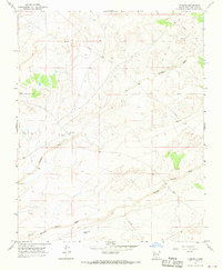
1967 Map of Kimbeto
USGS Topo · Published 1969About this map
Kimbeto sits within a landscape defined by intermittent watercourses and the infrastructure of the energy industry during the late 1960s. Surveyed by the Geological Survey and field-checked in 1967, the area shows a clear reliance on groundwater, evidenced by numerous features such as Well, Drill Hole, and the uniquely named Tony Lopez Well. The drainage patterns of the Kimbeto Wash and Betonnie Tsosie Wash carve through the terrain, illustrating the hydrologic character of this New Mexico quadrangle. A prominent Pipeline traverses the high ground, marking the intersection of resource extraction and the rural environment. Small-scale landmarks like Hollow Pit Tank and various unnamed Spring locations provide specific points of interest for those studying the historical geography of San Juan County.
Find a feature on this map
9 named features on this map. Tap any name to fly to it.
Don’t see what you’re looking for? This feature index may not catch every label — zoom into the map to look around manually.
Map Details
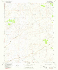
Editions of this 1967 Kimbeto Map
2 editions found
Other maps of this area

1889 · Largo
USGS Topo · 1:250,000

1895 · Largo
USGS Topo · 1:250,000

1954 · Aztec
USGS Topo · 1:250,000

1958 · Aztec
USGS Topo · 1:250,000

1959 · Nageezi
USGS Topo · 1:62,500

1962 · Aztec
USGS Topo · 1:250,000

1965 · Aztec
USGS Topo · 1:250,000
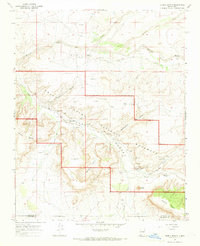
1966 · Pueblo Bonito
USGS Topo · 1:24,000
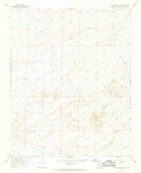
1966 · Pueblo Bonito NW
USGS Topo · 1:24,000

1966 · Lybrook NW
USGS Topo · 1:24,000