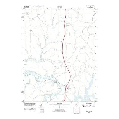
2010 Map of Kimbolton
USGS Topo · Published 2010About this map
Kimbolton and North Salem anchor this survey of northern Guernsey County, where the landscape is defined by the winding course of Wills Creek and the expansive Salt Fork Reservoir. The map documents a rural Ohio landscape transitioning through the early 21st century, centered on small hamlets and a dense network of country roads. Genealogists and local historians will find significant detail in the numerous burial sites that dot the hillsides, including the Peoples Methodist Episcopal Cemetery and Saint Jacobs Lutheran Cemetery. Civil engineering is represented by the Bishard Pond Dam, which creates Bishard Pond along the western edge. Notable small-town infrastructure remains visible through the Guernsey Post Office and Kimbolton Post Office, marking these communities as vital local hubs amidst the surrounding drainages of Postboy Creek and Johnson Fork.
Find a feature on this map
76 named features on this map. Tap any name to fly to it.
Don’t see what you’re looking for? This feature index may not catch every label — zoom into the map to look around manually.
Map Details
Editions of this 2010 Kimbolton Map
This is the sole edition of this map. No revisions or reprints were ever made.
Other maps of this area

1909 · Antrim
USGS Topo · 1:48,000

1909 · Uhrichsville
USGS Topo · 1:62,500

1909 · Cambridge
USGS Topo · 1:62,500

1911 · Antrim
USGS Topo · 1:62,500

1911 · Uhrichsville
USGS Topo · 1:62,500

1911 · Newcomerstown
USGS Topo · 1:62,500

1912 · Cambridge
USGS Topo · 1:62,500

1913 · Newcomerstown
USGS Topo · 1:62,500

1943 · Newcomerstown
USGS Topo · 1:62,500

1951 · Canton
USGS Topo · 1:250,000