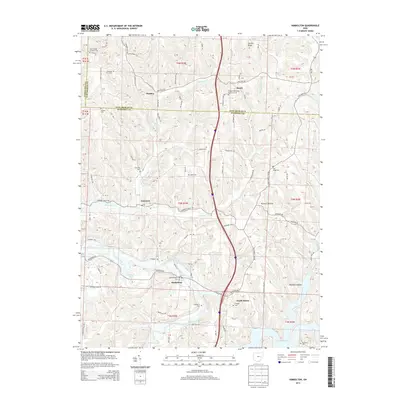
2013 Map of Kimbolton
USGS Topo · Published 2013About this map
Wills Creek and its tributary Birds Run carve a network of valleys through this portion of Guernsey and Tuscarawas Counties. The landscape is defined by its deep hollows and narrow ridges, such as Stocker Ridge and the dual depressions of Painters Hollow. In this rural corridor, small settlements like Kimbolton and Guernsey serve as local anchors, connected by a winding network of named roads including Early Cemetery Rd and Science Hill Rd.
Find a feature on this map
117 named features on this map. Tap any name to fly to it.
Don’t see what you’re looking for? This feature index may not catch every label — zoom into the map to look around manually.
Map Details
Editions of this 2013 Kimbolton Map
This is the sole edition of this map. No revisions or reprints were ever made.
Other maps of this area

1909 · Antrim
USGS Topo · 1:48,000

1909 · Uhrichsville
USGS Topo · 1:62,500

1909 · Cambridge
USGS Topo · 1:62,500

1911 · Antrim
USGS Topo · 1:62,500

1911 · Uhrichsville
USGS Topo · 1:62,500

1911 · Newcomerstown
USGS Topo · 1:62,500

1912 · Cambridge
USGS Topo · 1:62,500

1913 · Newcomerstown
USGS Topo · 1:62,500

1943 · Newcomerstown
USGS Topo · 1:62,500

1951 · Canton
USGS Topo · 1:250,000