Loading...
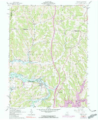
Loading map...1962 Map of Kimbolton
USGS Topo · Published 1990About this map
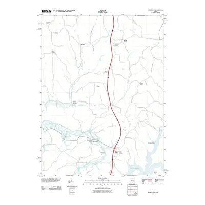
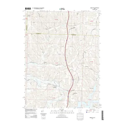
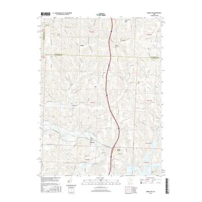
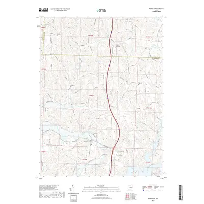
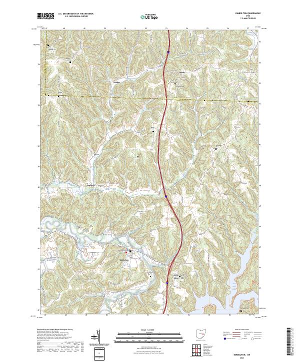
Kimbolton and the surrounding townships of Wheeling and Liberty are defined by the convergence of winding waterways and rail infrastructure during the early 1960s. The Wills Creek valley, managed by the Muskingum Watershed Conservancy District, shows the expansion of Wills Creek Lake and the northern reaches of Salt Fork Lake, illustrating the region's mid-century water management efforts. The Penn Central railroad cuts through the terrain, connecting small settlements like Booth and North Salem to the broader industrial economy.
Find a feature on this map
41 named features on this map. Tap any name to fly to it.
Don’t see what you’re looking for? This feature index may not catch every label — zoom into the map to look around manually.
Map Details
Date Portrayed1962
Date Published1990
PublisherU.S. Geological Survey
Map TypeTopographic
Scale1:24,000
Physical Dimensions22 x 27 inches
Editions of this 1962 Kimbolton Map
Historical Maps of Postboy Through Time
7 maps found
Featured Locations
Source Details
SourceU.S. Geological Survey
CopyrightPublic Domain