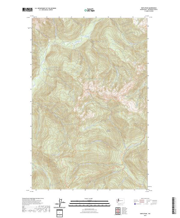
2023 Map of Kimta Peak
USGS Topo · Published 2023About this map
Olympic Mountain peaks and high-elevation watersheds define this portion of the Olympic National Park and Olympic Wilderness. Centered on Kimta Peak, the landscape is a network of ridges and drainage basins where the Queets River and the North Fork Quinault River originate. The map documents an intricate system of primitive routes used by backcountry travelers, including the Skyline Trail and the Lake Beauty Primitive Trail.
Find a feature on this map
32 named features on this map. Tap any name to fly to it.
Don’t see what you’re looking for? This feature index may not catch every label — zoom into the map to look around manually.
Map Details
Editions of this 2023 Kimta Peak Map
This is the sole edition of this map. No revisions or reprints were ever made.
Other maps of this area

1935 · Mount Olympus
USGS Topo · 1:62,500

1939 · Mount Tom
USGS Topo · 1:62,500

1942 · Mount Olympus
USGS Topo · 1:62,500

1947 · Mt Christie
USGS Topo · 1:62,500

1950 · Mt Christie
USGS Topo · 1:62,500

1956 · Mount Olympus
USGS Topo · 1:62,500

1956 · Kloochman Rock
USGS Topo · 1:62,500

1956 · Mount Tom
USGS Topo · 1:62,500
1957 · Mount Tom
USGS Topo · 1:62,500

1958 · Seattle
USGS Topo · 1:250,000