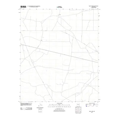
2010 Map of King Camp
USGS Topo · Published 2010About this map
King Camp serves as a central landmark in this high-desert region of Chaves County, characterized by its sparse settlement and expansive road network. The landscape is primarily defined by ranching activity and infrastructure, with the Anchor D Ranch situated in the northern reaches of the quadrangle. A system of private and rural roads, including names like Suzanne Rd, Teresa Rd, and Katrina Rd, connects these isolated points of interest across the terrain.
Find a feature on this map
8 named features on this map. Tap any name to fly to it.
Don’t see what you’re looking for? This feature index may not catch every label — zoom into the map to look around manually.
Map Details
Editions of this 2010 King Camp Map
This is the sole edition of this map. No revisions or reprints were ever made.
Other maps of this area

1951 · Ninemile Well
USGS Topo · 1:24,000

1951 · King Camp
USGS Topo · 1:24,000

1951 · Diamond Mound
USGS Topo · 1:24,000

1952 · Connor Well
USGS Topo · 1:24,000

1952 · Bar C Bar Ranch
USGS Topo · 1:24,000

1953 · Basin Well
USGS Topo · 1:24,000

1954 · Carlsbad
USGS Topo · 1:250,000

1954 · Hobbs
USGS Topo · 1:250,000

1954 · Brownfield
USGS Topo · 1:250,000

1955 · Roswell
USGS Topo · 1:250,000