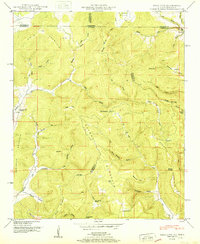
1951 Map of King Cove
USGS Topo · Published 1951About this map
Putman Mountain and Maxwell Mountain dominate this 1951 study of the high-elevation borderlands between Alabama and Tennessee. This survey, conducted shortly after the Second World War, documents a deeply rural landscape of dispersed family settlements and subsistence farming sites tucked into the limestone coves. The presence of numerous small burying grounds, such as Hudson Cem and Beech Grove Cem, alongside the Hambrick Sch, indicates a community organized around family ties and geography rather than a central town. The karst topography is clearly evident through the mapping of the Hambrick Sinks and Cunningham Sinks to the south. Notable for local historians, the map preserves the location of Francisco near the state line, showing the early infrastructure of roads and stream crossings like those along Pigeon Creek and Hurricane Creek before modern developments altered the local character.
Find a feature on this map
69 named features on this map. Tap any name to fly to it.
Don’t see what you’re looking for? This feature index may not catch every label — zoom into the map to look around manually.
Map Details
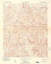
Editions of this 1951 King Cove Map
2 editions found
Other maps of this area

1888 · Scottsboro
USGS Topo · 1:125,000

1892 · Scottsboro
USGS Topo · 1:125,000

1928 · Decherd
USGS Topo · 1:62,500

1936 · King Cove
USGS Topo · 1:24,000

1936 · Flintville
USGS Topo · 1:24,000

1936 · Hollytree
USGS Topo · 1:24,000

1936 · Beans Creek
USGS Topo · 1:24,000

1936 · Princeton
USGS Topo · 1:24,000

1936 · Huntland
USGS Topo · 1:24,000

1936 · Maysville
USGS Topo · 1:24,000