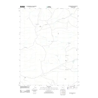
2012 Map of King Mountain
USGS Topo · Published 2012About this map
King Brothers Ranch and Coles Ranch sit at the heart of this ranching landscape in Albany County, where the high-altitude terrain is defined by the drainage systems of the Laramie Mountains. The map illustrates a network of named watercourses including N Fork Horse Cr, Ricker Cr, and Schoolhouse Cr, which cut through the prominent elevations of King Mountain and Dirty Mountain. This area represents the open range and private ranching legacy of southern Wyoming, with infrastructure limited to rural routes like Roger Canyon Rd and Short Cut Trl. The presence of several family-named ranches, including Browns Ranch and the Harry Brown Ranch, provides specific location data for genealogists and local historians tracking land use and family holdings in the early twenty-first century.
Find a feature on this map
19 named features on this map. Tap any name to fly to it.
Don’t see what you’re looking for? This feature index may not catch every label — zoom into the map to look around manually.
Map Details
Editions of this 2012 King Mountain Map
This is the sole edition of this map. No revisions or reprints were ever made.
Other maps of this area

1895 · Laramie
USGS Topo · 1:125,000

1902 · Laramie
USGS Topo · 1:125,000

1905 · Sherman
USGS Topo · 1:125,000

1905 · Laramie
USGS Topo · 1:125,000

1906 · Laramie
USGS Topo · 1:125,000

1908 · Laramie
USGS Topo · 1:125,000

1948 · Ragged Top Mountain
USGS Topo · 1:62,500

1950 · Ragged Top Mountain
USGS Topo · 1:62,500

1954 · Cheyenne
USGS Topo · 1:250,000

1955 · Bosler SE
USGS Topo · 1:24,000