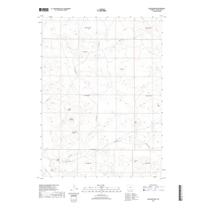
2017 Map of King Mountain
USGS Topo · Published 2017About this map
King Mtn stands as a central topographic prominence within this portion of the Laramie Mountains, where the landscape is defined by a network of drainage systems and high ridges. The area is characterized by deep erosional features like Katie Brown Canyon and Timber Canyon, while smaller watercourses such as Schoolhouse Cr and Spring Cr carve through the high-elevation terrain. Access is facilitated by a handful of established routes, including King Mountain Rd and Roger Canyon Rd, which navigate the elevation changes between landmarks like Big Hill and Sherman Hill. This 2017 survey reflects the remote ranching and grazing character of southeastern Wyoming, emphasizing the natural hydrology of Horse Cr Lakes and the rugged basins of Dry Gulch and Roger Canyon.
Find a feature on this map
26 named features on this map. Tap any name to fly to it.
Don’t see what you’re looking for? This feature index may not catch every label — zoom into the map to look around manually.
Map Details
Editions of this 2017 King Mountain Map
This is the sole edition of this map. No revisions or reprints were ever made.
Other maps of this area

1895 · Laramie
USGS Topo · 1:125,000

1902 · Laramie
USGS Topo · 1:125,000

1905 · Sherman
USGS Topo · 1:125,000

1905 · Laramie
USGS Topo · 1:125,000

1906 · Laramie
USGS Topo · 1:125,000

1908 · Laramie
USGS Topo · 1:125,000

1948 · Ragged Top Mountain
USGS Topo · 1:62,500

1950 · Ragged Top Mountain
USGS Topo · 1:62,500

1954 · Cheyenne
USGS Topo · 1:250,000

1955 · Bosler SE
USGS Topo · 1:24,000