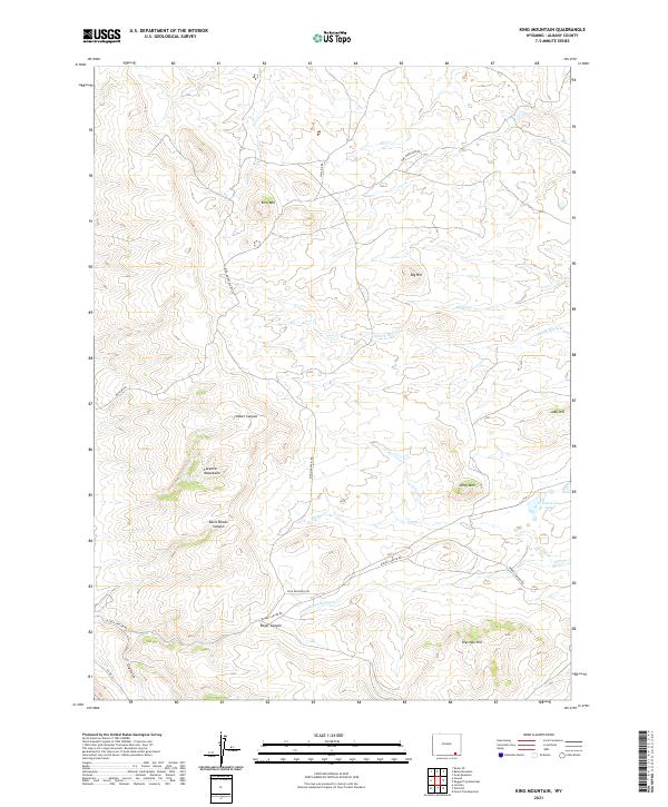
2021 Map of King Mountain
USGS Topo · Published 2021About this map
The Laramie Mountains define the high-altitude terrain of this Albany County landscape, where elevation and drainage patterns dictate the sparse human footprint. This 2021 survey reveals a rugged geography of high points like King Mtn, Big Hill, and Dirty Mtn alongside deep-cut drainages such as Roger Canyon and Timber Canyon. Water sources are vital in this arid environment, evidenced by the presence of Horse Cr Lakes, Ricker Cr, and Schoolhouse Cr.
Find a feature on this map
25 named features on this map. Tap any name to fly to it.
Don’t see what you’re looking for? This feature index may not catch every label — zoom into the map to look around manually.
Map Details
Editions of this 2021 King Mountain Map
This is the sole edition of this map. No revisions or reprints were ever made.
Other maps of this area

1895 · Laramie
USGS Topo · 1:125,000

1902 · Laramie
USGS Topo · 1:125,000

1905 · Sherman
USGS Topo · 1:125,000

1905 · Laramie
USGS Topo · 1:125,000

1906 · Laramie
USGS Topo · 1:125,000

1908 · Laramie
USGS Topo · 1:125,000

1948 · Ragged Top Mountain
USGS Topo · 1:62,500

1950 · Ragged Top Mountain
USGS Topo · 1:62,500

1954 · Cheyenne
USGS Topo · 1:250,000

1955 · Bosler SE
USGS Topo · 1:24,000