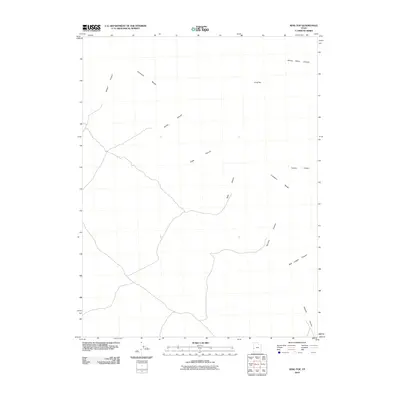
2010 Map of King Top
USGS Topo · Published 2010About this map
King Top rises as a prominent landmark within the Confusion Range of Millard County, Utah, anchoring a landscape defined by an intricate network of drainage systems. This 2010 survey details the complex topography of the Great Basin, where numerous canyons like Jackson Canyon and Noddy Canyon cut through the arid terrain. The lack of named settlements reflects the region's character as a desert wilderness, where topographical features serve as the primary navigational aids.
Find a feature on this map
11 named features on this map. Tap any name to fly to it.
Don’t see what you’re looking for? This feature index may not catch every label — zoom into the map to look around manually.
Map Details
Editions of this 2010 King Top Map
This is the sole edition of this map. No revisions or reprints were ever made.
Other maps of this area

1908 · Fish Springs
USGS Topo · 1:250,000

1910 · Fish Springs
USGS Topo · 1:250,000

1953 · Richfield
USGS Topo · 1:250,000

1953 · Delta
USGS Topo · 1:250,000

1958 · Richfield
USGS Topo · 1:250,000

1958 · Delta
USGS Topo · 1:250,000

1960 · Notch Peak
USGS Topo · 1:62,500

1960 · Crystal Peak
USGS Topo · 1:62,500

1960 · Conger Mountain
USGS Topo · 1:62,500

1960 · The Barn
USGS Topo · 1:62,500