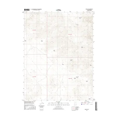
2017 Map of King Top
USGS Topo · Published 2017About this map
The Confusion Range dominates this corner of Millard County, creating a complex series of drainage systems and high points. Named features throughout the landscape reveal the geological diversity of the area, from the prominence of King Top to the deep incisions of Bonny Stairs Canyon and Red Ledges Canyon. The land is segmented by a network of dry washes and steep-walled corridors, such as Burnout Canyon and Smooth Canyon, which illustrate the erosion patterns characteristic of this arid environment.
Find a feature on this map
15 named features on this map. Tap any name to fly to it.
Don’t see what you’re looking for? This feature index may not catch every label — zoom into the map to look around manually.
Map Details
Editions of this 2017 King Top Map
This is the sole edition of this map. No revisions or reprints were ever made.
Other maps of this area

1908 · Fish Springs
USGS Topo · 1:250,000

1910 · Fish Springs
USGS Topo · 1:250,000

1953 · Richfield
USGS Topo · 1:250,000

1953 · Delta
USGS Topo · 1:250,000

1958 · Richfield
USGS Topo · 1:250,000

1958 · Delta
USGS Topo · 1:250,000

1960 · Notch Peak
USGS Topo · 1:62,500

1960 · Crystal Peak
USGS Topo · 1:62,500

1960 · Conger Mountain
USGS Topo · 1:62,500

1960 · The Barn
USGS Topo · 1:62,500