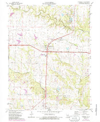
1973 Map of Kingdom City
USGS Topo · Published 1986About this map
Kingdom City serves as a central hub in Callaway County on this 1970s landscape, positioned where major transit corridors intersect amidst the rolling drainage of Auxvasse Creek and Richland Creek. This survey captures a moment of local infrastructure development, featuring a Radio Tower, Substation, and a Drive-in Theater south of the primary junction. The map preserves significant genealogical landmarks for the surrounding rural townships of McCredie, Liberty, and Jackson, including the Richland Ch and its accompanying Richland Cem. Evidence of the area's geological utility is visible through a Claypit and Quarry, while the Sky-Go Farms Landing Field highlights the integration of private aviation into the agricultural landscape of West Fulton and East Fulton.
Find a feature on this map
28 named features on this map. Tap any name to fly to it.
Don’t see what you’re looking for? This feature index may not catch every label — zoom into the map to look around manually.
Map Details
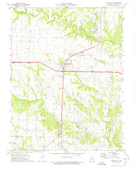
Editions of this 1973 Kingdom City Map
2 editions found
Other maps of this area

1886 · Jefferson City
USGS Topo · 1:125,000

1890 · Mexico
USGS Topo · 1:125,000

1890 · Moberly
USGS Topo · 1:125,000

1890 · Fulton
USGS Topo · 1:125,000

1894 · Jefferson City
USGS Topo · 1:125,000

1928 · Fulton
USGS Topo · 1:62,500

1931 · Fulton
USGS Topo · 1:62,500

1932 · Mexico
USGS Topo · 1:62,500

1944 · Millersburg
USGS Topo · 1:62,500

1945 · Centralia
USGS Topo · 1:62,500