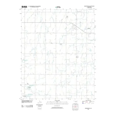
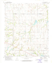
2009 Map of Kingfisher SE
USGS Topo · Published 2009About this map
Pleasant Valley Cemetery and Grimes Cemetery sit among the section lines and creek drainages of this rural landscape in Kingfisher County. The terrain is defined by a dendritic network of waterways, including Bird Creek, Walnut Creek, and Jech Creek, which flow toward localized water management structures. Small-scale aviation and water control dominate the local infrastructure, represented by Daves Place Airport and several designated reservoirs.
Find a feature on this map
35 named features on this map. Tap any name to fly to it.
Don’t see what you’re looking for? This feature index may not catch every label — zoom into the map to look around manually.
Map Details
Editions of this 2009 Kingfisher SE Map
This is the sole edition of this map. No revisions or reprints were ever made.
Other maps of this area

1892 · Kingfisher
USGS Topo · 1:125,000

1895 · Kingfisher
USGS Topo · 1:125,000

1954 · Oklahoma City
USGS Topo · 1:250,000

1957 · Oklahoma City
USGS Topo · 1:250,000

1963 · Oklahoma City
USGS Topo · 1:250,000

1966 · Piedmont
USGS Topo · 1:24,000
1969 · Crescent NW
USGS Topo · 1:24,000
1970 · Cashion
USGS Topo · 1:24,000
1972 · Kingfisher SE
USGS Topo · 1:24,000
1972 · El Reno NE
USGS Topo · 1:24,000