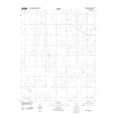
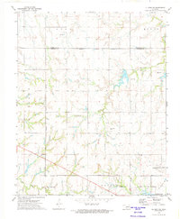
2012 Map of Kingfisher SE
USGS Topo · Published 2012About this map
Reeding serves as a central point of settlement in this rural landscape of Kingfisher County, where a grid-like network of rural roads such as N Gregory Rd and E0840 Rd provides access to the agricultural plains. The area is defined by its local drainage systems, with the winding paths of Campbell Creek and Walnut Creek cutting through the terrain. Significant local history and genealogy can be traced through the presence of well-established burial grounds, including Pleasant Valley Cemetery and Grimes Cemetery. To the southwest, water management is evident with the Uncle John Cr Site 13 Reservoir and Uncle John Cr Site 12 Reservoir, reflecting the infrastructure required to manage the regional watershed of Clear Creek. This map captures a stable Oklahoma community where family heritage remains anchored in its churches and cemeteries.
Find a feature on this map
28 named features on this map. Tap any name to fly to it.
Don’t see what you’re looking for? This feature index may not catch every label — zoom into the map to look around manually.
Map Details
Editions of this 2012 Kingfisher SE Map
This is the sole edition of this map. No revisions or reprints were ever made.
Other maps of this area

1892 · Kingfisher
USGS Topo · 1:125,000

1895 · Kingfisher
USGS Topo · 1:125,000

1954 · Oklahoma City
USGS Topo · 1:250,000

1957 · Oklahoma City
USGS Topo · 1:250,000

1963 · Oklahoma City
USGS Topo · 1:250,000

1966 · Piedmont
USGS Topo · 1:24,000
1969 · Crescent NW
USGS Topo · 1:24,000
1970 · Cashion
USGS Topo · 1:24,000
1972 · Kingfisher SE
USGS Topo · 1:24,000
1972 · El Reno NE
USGS Topo · 1:24,000