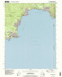
1992 Map of Kings Beach
USGS Topo · Published 1994About this map
Lake Tahoe dominates this North Shore perspective, where the 1990s shoreline displays a dense network of residential streets and recreational hubs. The settlement of Kings Beach sits at the apex of Agate Bay, flanked by Kings Beach State Recreation Area and the community of Brockway. Moving west, the map details the distinct residential enclaves of Tahoe Vista and Carnelian Bay, where the terrain transitions from the water's edge at Flick Point into the wooded slopes of the Tahoe National Forest.
Find a feature on this map
34 named features on this map. Tap any name to fly to it.
Don’t see what you’re looking for? This feature index may not catch every label — zoom into the map to look around manually.
Map Details
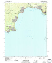
Editions of this 1992 Kings Beach Map
2 editions found
Other maps of this area

1891 · Carson
USGS Topo · 1:125,000

1891 · Truckee
USGS Topo · 1:125,000

1893 · Carson
USGS Topo · 1:125,000

1893 · Truckee
USGS Topo · 1:125,000

1895 · Truckee
USGS Topo · 1:125,000

1932 · Truckee
USGS Topo · 1:96,000

1940 · Truckee
USGS Topo · 1:125,000

1950 · Mt. Rose
USGS Topo · 1:62,500

1952 · Mt. Rose
USGS Topo · 1:62,500
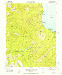
1955 · Homewood
USGS Topo · 1:24,000