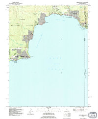
1992 Map of Kings Beach
USGS Topo · Published 1994About this map
Lake Tahoe’s northern shoreline is captured here during the early 1990s, centered on the developed residential and recreational corridors of Kings Beach and Tahoe Vista. The landscape reflects a dense interface between public lands and seasonal settlements, with the Tahoe National Forest and North Tahoe Regional Park bordering these lakeside communities. The map provides significant detail for local historians, showing the location of the Fish Hatchery near Lake Forest and the Kings Beach Sch.
Find a feature on this map
36 named features on this map. Tap any name to fly to it.
Don’t see what you’re looking for? This feature index may not catch every label — zoom into the map to look around manually.
Map Details
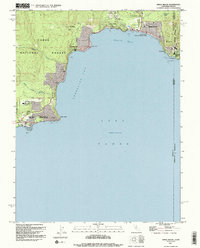
Editions of this 1992 Kings Beach Map
2 editions found
Other maps of this area

1891 · Carson
USGS Topo · 1:125,000

1891 · Truckee
USGS Topo · 1:125,000

1893 · Carson
USGS Topo · 1:125,000

1893 · Truckee
USGS Topo · 1:125,000

1895 · Truckee
USGS Topo · 1:125,000

1932 · Truckee
USGS Topo · 1:96,000

1940 · Truckee
USGS Topo · 1:125,000

1950 · Mt. Rose
USGS Topo · 1:62,500

1952 · Mt. Rose
USGS Topo · 1:62,500
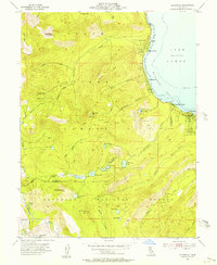
1955 · Homewood
USGS Topo · 1:24,000