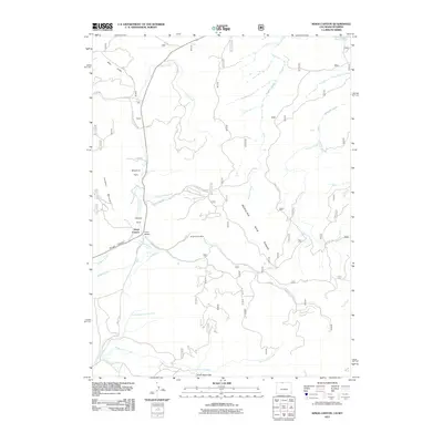
2011 Map of Kings Canyon
USGS Topo · Published 2011About this map
Kings Canyon Mine sits at the heart of this high-elevation landscape, where the foothills of the Medicine Bow Range meet the complex drainage systems of the North Park basin. The 2011 survey reveals an environment defined by water management and mineral extraction, evidenced by the intricate network of canals such as the Hardwork Ditch, Allard Ditch, and Government Ditch Number 2. These structures redirect the flow of Pinkham Creek and Government Creek across the valley floor. Small local hubs like Kings Canyon, Camp Nelson, and Clayton Park are connected by a web of mountain routes including Village Belle Rd and various Forest Service roads. To the south, the North Sand Hills provide a distinct geological contrast to the timbered slopes of Pinkham Mountain and the riparian corridors of Village Belle Creek.
Find a feature on this map
35 named features on this map. Tap any name to fly to it.
Don’t see what you’re looking for? This feature index may not catch every label — zoom into the map to look around manually.
Map Details
Editions of this 2011 Kings Canyon Map
This is the sole edition of this map. No revisions or reprints were ever made.
Other maps of this area

1906 · Medicine Bow
USGS Topo · 1:125,000

1908 · Medicine Bow
USGS Topo · 1:125,000

1950 · Northgate
USGS Topo · 1:24,000

1950 · Kings Canyon
USGS Topo · 1:24,000

1952 · Northgate
USGS Topo · 1:24,000

1952 · Kings Canyon
USGS Topo · 1:24,000

1954 · Rawlins
USGS Topo · 1:250,000

1954 · Craig
USGS Topo · 1:250,000

1955 · Old Roach
USGS Topo · 1:24,000

1955 · Eagle Hill
USGS Topo · 1:24,000