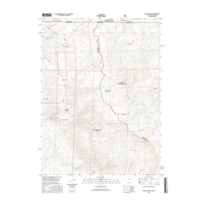
2016 Map of Kings Canyon
USGS Topo · Published 2016About this map
Kings Canyon sits at a high-elevation junction where the rugged northern Colorado landscape meets the Wyoming border. This terrain is defined by the towering Medicine Bow Mountains and the distinct geography of the North Sand Hills to the south. The map documents a complex network of forest management and water rights, evidenced by the convergence of the Medicine Bow National Forest, Roosevelt National Forest, and Routt National Forest.
Find a feature on this map
43 named features on this map. Tap any name to fly to it.
Don’t see what you’re looking for? This feature index may not catch every label — zoom into the map to look around manually.
Map Details
Editions of this 2016 Kings Canyon Map
This is the sole edition of this map. No revisions or reprints were ever made.
Other maps of this area

1906 · Medicine Bow
USGS Topo · 1:125,000

1908 · Medicine Bow
USGS Topo · 1:125,000

1950 · Northgate
USGS Topo · 1:24,000

1950 · Kings Canyon
USGS Topo · 1:24,000

1952 · Northgate
USGS Topo · 1:24,000

1952 · Kings Canyon
USGS Topo · 1:24,000

1954 · Rawlins
USGS Topo · 1:250,000

1954 · Craig
USGS Topo · 1:250,000

1955 · Old Roach
USGS Topo · 1:24,000

1955 · Eagle Hill
USGS Topo · 1:24,000