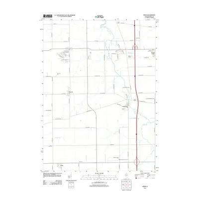
2012 Map of Kings
USGS Topo · Published 2012About this map
Lindenwood and Holcomb anchor this Ogle County landscape, characterized by the winding path of Killbuck Cr and a dense network of agricultural homesteads. The map illustrates a transition toward modern residential development near Davis Junction in the north, evidenced by suburban street names like Prairie Moon Dr and Autumnwood Ln. Despite this growth, the area’s rural heritage is preserved in the numerous family and community burial grounds, such as White Rock Cem, Big Mound Cem, and Kilbuck Cem.
Find a feature on this map
70 named features on this map. Tap any name to fly to it.
Don’t see what you’re looking for? This feature index may not catch every label — zoom into the map to look around manually.
Map Details
Editions of this 2012 Kings Map
This is the sole edition of this map. No revisions or reprints were ever made.
Other maps of this area

1917 · Kings
USGS Topo · 1:62,500

1918 · Kings
USGS Topo · 1:62,500

1918 · Kirkland
USGS Topo · 1:62,500

1934 · De Kalb
USGS Topo · 1:62,500

1937 · De Kalb
USGS Topo · 1:62,500

1949 · Camp Grant
USGS Topo · 1:24,000

1952 · Rochelle
USGS Topo · 1:62,500

1954 · Rockford
USGS Topo · 1:250,000

1955 · Rockford
USGS Topo · 1:250,000

1958 · Aurora
USGS Topo · 1:250,000