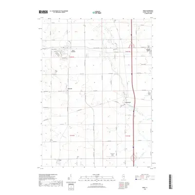
2018 Map of Kings
USGS Topo · Published 2018About this map
Davis Junction and the surrounding Ogle County prairie define this agricultural and transit corridor in north-central Illinois. The map captures a collection of small rail-side settlements and rural intersections, including Monroe Center, Holcomb, and the unincorporated community of Kings. This landscape is marked by a legacy of family farming and local burials, preserved at sites like Bethel Cemetery and White Rock Cemetery.
Find a feature on this map
72 named features on this map. Tap any name to fly to it.
Don’t see what you’re looking for? This feature index may not catch every label — zoom into the map to look around manually.
Map Details
Editions of this 2018 Kings Map
This is the sole edition of this map. No revisions or reprints were ever made.
Other maps of this area

1917 · Kings
USGS Topo · 1:62,500

1918 · Kings
USGS Topo · 1:62,500

1918 · Kirkland
USGS Topo · 1:62,500

1934 · De Kalb
USGS Topo · 1:62,500

1937 · De Kalb
USGS Topo · 1:62,500

1949 · Camp Grant
USGS Topo · 1:24,000

1952 · Rochelle
USGS Topo · 1:62,500

1954 · Rockford
USGS Topo · 1:250,000

1955 · Rockford
USGS Topo · 1:250,000

1958 · Aurora
USGS Topo · 1:250,000