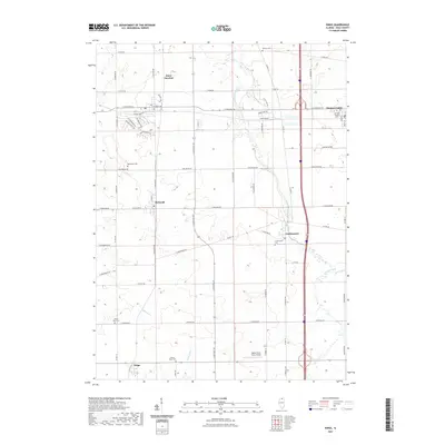
2021 Map of Kings
USGS Topo · Published 2021About this map
Davis Junction and the surrounding Ogle County townships appear as a well-defined grid of agricultural land and small rural hubs in this recent survey. The landscape is characterized by its organized road network, with major corridors like E State Rte 72 and Co Hwy 15 connecting several distinct settlements including Monroe Center, Holcomb, and Lindenwood. A heavy concentration of burial grounds, including the White Rock Cem and Big Mound Cem, indicates the deep roots of the local farming families and the established history of these communities.
Find a feature on this map
66 named features on this map. Tap any name to fly to it.
Don’t see what you’re looking for? This feature index may not catch every label — zoom into the map to look around manually.
Map Details
Editions of this 2021 Kings Map
This is the sole edition of this map. No revisions or reprints were ever made.
Other maps of this area

1917 · Kings
USGS Topo · 1:62,500

1918 · Kings
USGS Topo · 1:62,500

1918 · Kirkland
USGS Topo · 1:62,500

1934 · De Kalb
USGS Topo · 1:62,500

1937 · De Kalb
USGS Topo · 1:62,500

1949 · Camp Grant
USGS Topo · 1:24,000

1952 · Rochelle
USGS Topo · 1:62,500

1954 · Rockford
USGS Topo · 1:250,000

1955 · Rockford
USGS Topo · 1:250,000

1958 · Aurora
USGS Topo · 1:250,000