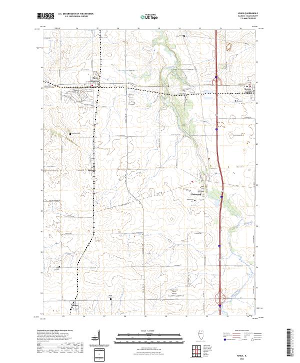
2024 Map of Kings
USGS Topo · Published 2024About this map
Davis Junction and Monroe Center anchor the northern landscape of this Ogle County region, where the grid of rural roads meets the winding courses of Killbuck Creek and Stillman Creek. The map documents a predominantly agricultural area characterized by small settlements like Holcomb, Lindenwood, and Kings, each surrounded by large farm tracts. Local history and genealogy interest is concentrated in the many rural burial grounds that dot the township lines, including Big Mound Cem, White Rock Cem, and the Bethel - Hayes Cem. Transportation infrastructure is a primary feature, with major thoroughfares like E State Rte 72 and N State Rte 251 providing modern connectivity, while the Maple Hurst Farms Airport suggests the continued importance of local aviation in this rural Illinois setting.
Find a feature on this map
67 named features on this map. Tap any name to fly to it.
Don’t see what you’re looking for? This feature index may not catch every label — zoom into the map to look around manually.
Map Details
Editions of this 2024 Kings Map
This is the sole edition of this map. No revisions or reprints were ever made.
Other maps of this area

1917 · Kings
USGS Topo · 1:62,500

1918 · Kings
USGS Topo · 1:62,500

1918 · Kirkland
USGS Topo · 1:62,500

1934 · De Kalb
USGS Topo · 1:62,500

1937 · De Kalb
USGS Topo · 1:62,500

1949 · Camp Grant
USGS Topo · 1:24,000

1952 · Rochelle
USGS Topo · 1:62,500

1954 · Rockford
USGS Topo · 1:250,000

1955 · Rockford
USGS Topo · 1:250,000

1958 · Aurora
USGS Topo · 1:250,000