
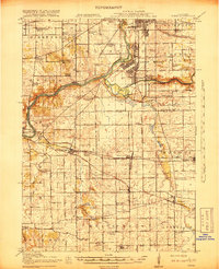
1918 Map of Kings
USGS Topo · Published 1918About this map
Camp Grant and the sprawling military grounds south of Rockford dominate the northern landscape of this 1918 survey. Situated at the confluence of the Rock River and Kishwaukee River, the area is a critical junction for early twentieth-century transport, where the Rockford and Interurban Electric line meets major steam railroads. This confluence of infrastructure supported a dense network of rural school districts, including Gunsaulus School and Ogilby School.
Find a feature on this map
74 named features on this map. Tap any name to fly to it.
Don’t see what you’re looking for? This feature index may not catch every label — zoom into the map to look around manually.
Map Details
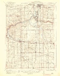
Editions of this 1918 Kings Map
3 editions found
Other maps of this area

1917 · Kings
USGS Topo · 1:62,500

1918 · Rockford
USGS Topo · 1:62,500

1918 · Belvidere
USGS Topo · 1:62,500

1918 · Dixon
USGS Topo · 1:62,500

1918 · Kirkland
USGS Topo · 1:62,500

1922 · Oregon
USGS Topo · 1:62,500

1924 · Oregon
USGS Topo · 1:62,500

1932 · Pecatonica
USGS Topo · 1:62,500

1934 · De Kalb
USGS Topo · 1:62,500

1936 · Pecatonica
USGS Topo · 1:62,500