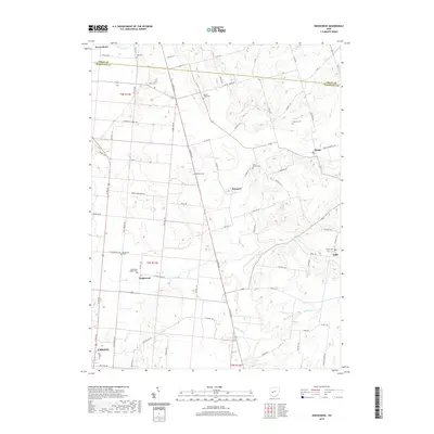
2019 Map of Kingscreek
USGS Topo · Published 2019About this map
Urbana and its surrounding northern township lands define this section of the Ohio agricultural landscape where the Logan and Champaign County line meets. The area is anchored by the small community of Kingscreek, located where Kings Creek and Dugan Run drain the rolling terrain. This part of the state retains a high density of ancestral burial grounds, including the Kingscreek Baptist Cemetery and several family-named locations such as Piatt Cemetery and Johnson Cemetery. The network of township and county roads, such as County Highway 74 and North Ludlow Road, connects isolated settlements like Kennard and Mingo. Further north, Macochee Creek cuts through the corner near West Liberty, while Buck Creek flows to the southeast, illustrating the well-defined drainage patterns that have shaped local farming and settlement since the nineteenth century.
Find a feature on this map
108 named features on this map. Tap any name to fly to it.
Don’t see what you’re looking for? This feature index may not catch every label — zoom into the map to look around manually.
Map Details
Editions of this 2019 Kingscreek Map
This is the sole edition of this map. No revisions or reprints were ever made.
Other maps of this area

1913 · Bellefontaine
USGS Topo · 1:48,000

1913 · East Liberty
USGS Topo · 1:62,500

1914 · St. Paris
USGS Topo · 1:62,500

1914 · Mechanicsburg
USGS Topo · 1:62,500

1915 · Bellefontaine
USGS Topo · 1:62,500

1915 · East Liberty
USGS Topo · 1:62,500

1916 · Mechanicsburg
USGS Topo · 1:62,500

1916 · St. Paris
USGS Topo · 1:62,500

1944 · East Liberty
USGS Topo · 1:62,500

1944 · Mechanicsburg
USGS Topo · 1:62,500