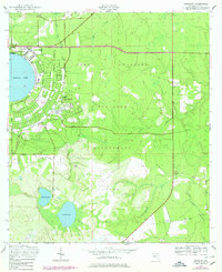
1949 Map of Kingsley
USGS Topo · Published 1978About this map
Camp Blanding dominates this landscape, reflecting its mid-century role as a massive military training facility in Clay County. The distinctive circular shoreline of Kingsley Lake is bordered by the small settlements of Kingsley and Kingsley Beach, where a grid of streets named for states like Alabama, Maine, and Florida suggests a planned residential or recreational layout near the water. Beyond the military reservation and the lake, the terrain transitions into a Wildlife Management Area characterized by the meandering waters of North Fork Black Creek and South Fork Black Creek. This map captures a landscape dedicated to government use and military preparation, while still preserving pockets of local heritage like Beulah Cem and the settlement of Belmore near the confluence of Ates Creek and Black Creek.
Find a feature on this map
22 named features on this map. Tap any name to fly to it.
Don’t see what you’re looking for? This feature index may not catch every label — zoom into the map to look around manually.
Map Details
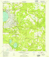
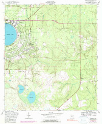
Editions of this 1949 Kingsley Map
3 editions found
Other maps of this area

1918 · Middleburg
USGS Topo · 1:62,500

1918 · Lawtey
USGS Topo · 1:62,500

1941 · Starke
USGS Topo · 1:62,500

1941 · Middleburg
USGS Topo · 1:62,500

1942 · Ates Creek
USGS Topo · 1:62,500

1948 · Starke
USGS Topo · 1:50,000

1948 · Jacksonville
USGS Topo · 1:250,000

1949 · Rice Creek
USGS Topo · 1:24,000

1949 · Middleburg SW
USGS Topo · 1:24,000

1949 · Gold Head Branch
USGS Topo · 1:24,000