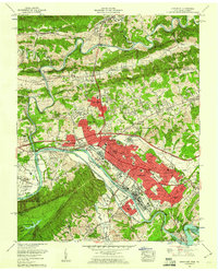
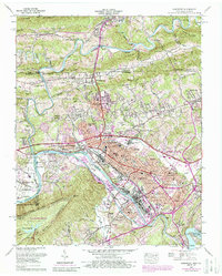
1959 Map of Kingsport
USGS Topo · Published 1960About this map
Kingsport stands at a strategic river confluence where the North Fork Holston River and South Fork Holston River meet to form the Holston River. By the late 1950s, the city’s industrial and residential footprint had expanded across Long Island and into surrounding neighborhoods like Borden Village and Lynn Garden. The presence of the Holston Ordnance Works and the industrial activity on the riverbanks underscore the area's role as a post-war manufacturing hub.
Find a feature on this map
98 named features on this map. Tap any name to fly to it.
Don’t see what you’re looking for? This feature index may not catch every label — zoom into the map to look around manually.
Map Details
Editions of this 1959 Kingsport Map
6 editions found
Other maps of this area

1891 · Roan Mountain
USGS Topo · 1:125,000

1892 · Greeneville
USGS Topo · 1:125,000

1894 · Roan Mountain
USGS Topo · 1:125,000

1894 · Estillville
USGS Topo · 1:125,000

1896 · Greeneville
USGS Topo · 1:125,000

1897 · Bristol
USGS Topo · 1:125,000

1902 · Bristol
USGS Topo · 1:125,000

1904 · Roan Mountain
USGS Topo · 1:125,000

1904 · Greeneville
USGS Topo · 1:125,000

1935 · Hilton
USGS Topo · 1:24,000