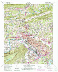
1959 Map of Kingsport
USGS Topo · Published 1988About this map
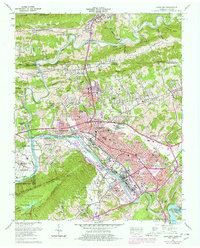
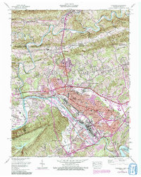
The industrial hub of Kingsport sits at the convergence of the North Fork and South Fork Holston River in this mid-century survey. The landscape reflects a complex mix of urban expansion and specialized military-industrial land use, notably the sprawling Holston Ordnance Works situated along the river bend west of the city. Industrial activity is further evidenced by the Winegar Mill and several quarries, while the transportation network is anchored by the Southern RR and Clinchfield RR.
Find a feature on this map
91 named features on this map. Tap any name to fly to it.
Don’t see what you’re looking for? This feature index may not catch every label — zoom into the map to look around manually.
Map Details
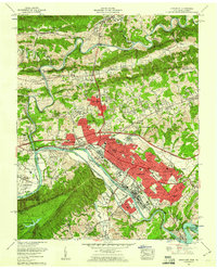
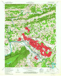
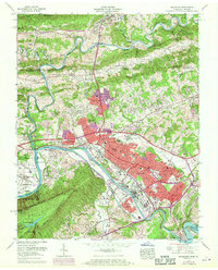
Editions of this 1959 Kingsport Map
6 editions found
Other maps of this area

1891 · Roan Mountain
USGS Topo · 1:125,000

1892 · Greeneville
USGS Topo · 1:125,000

1894 · Roan Mountain
USGS Topo · 1:125,000

1894 · Estillville
USGS Topo · 1:125,000

1896 · Greeneville
USGS Topo · 1:125,000

1897 · Bristol
USGS Topo · 1:125,000

1902 · Bristol
USGS Topo · 1:125,000

1904 · Roan Mountain
USGS Topo · 1:125,000

1904 · Greeneville
USGS Topo · 1:125,000

1935 · Hilton
USGS Topo · 1:24,000