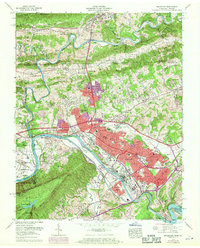
1959 Map of Kingsport
USGS Topo · Published 1970About this map
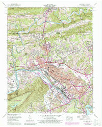
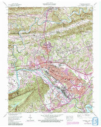
Kingsport and the surrounding borderlands of Tennessee and Virginia appear here during a period of significant mid-century industrial and residential expansion. The South Fork Holston River serves as a central artery for the region, winding past large industrial sites and the expansive Long Island. Residential development is clearly visible in the establishment of neighborhoods like Borden Village, Litz Manor, and Lynn Garden, which contrast with the more rural, rugged character of Bays Mountain and the North Cloud Ridge.
Find a feature on this map
116 named features on this map. Tap any name to fly to it.
Don’t see what you’re looking for? This feature index may not catch every label — zoom into the map to look around manually.
Map Details
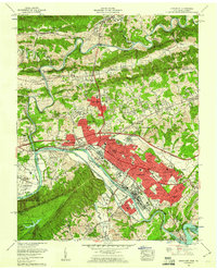
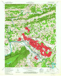
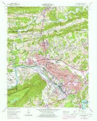
Editions of this 1959 Kingsport Map
6 editions found
Other maps of this area

1891 · Roan Mountain
USGS Topo · 1:125,000

1892 · Greeneville
USGS Topo · 1:125,000

1894 · Roan Mountain
USGS Topo · 1:125,000

1894 · Estillville
USGS Topo · 1:125,000

1896 · Greeneville
USGS Topo · 1:125,000

1897 · Bristol
USGS Topo · 1:125,000

1902 · Bristol
USGS Topo · 1:125,000

1904 · Roan Mountain
USGS Topo · 1:125,000

1904 · Greeneville
USGS Topo · 1:125,000

1935 · Hilton
USGS Topo · 1:24,000