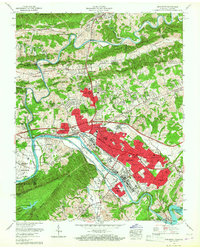
1959 Map of Kingsport
USGS Topo · Published 1967About this map
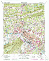
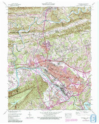
Kingsport centers this 1959 survey, showing a city in a period of significant mid-century expansion along the banks of the South Fork Holston River. The map details the dense industrial and residential footprint of the era, from the sprawling Borden Village and Litz Manor neighborhoods to the critical Holston Ordnance Works industrial complex. The presence of numerous schools like Dobyns-Bennett High School and John Sevier Jr High Sch indicates a booming post-war population.
Find a feature on this map
119 named features on this map. Tap any name to fly to it.
Don’t see what you’re looking for? This feature index may not catch every label — zoom into the map to look around manually.
Map Details
Editions of this 1959 Kingsport Map
6 editions found
Other maps of this area

1891 · Roan Mountain
USGS Topo · 1:125,000

1892 · Greeneville
USGS Topo · 1:125,000

1894 · Roan Mountain
USGS Topo · 1:125,000

1894 · Estillville
USGS Topo · 1:125,000

1896 · Greeneville
USGS Topo · 1:125,000

1897 · Bristol
USGS Topo · 1:125,000

1902 · Bristol
USGS Topo · 1:125,000

1904 · Roan Mountain
USGS Topo · 1:125,000

1904 · Greeneville
USGS Topo · 1:125,000

1935 · Hilton
USGS Topo · 1:24,000