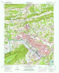
1959 Map of Kingsport
USGS Topo · Published 1978About this map
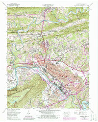
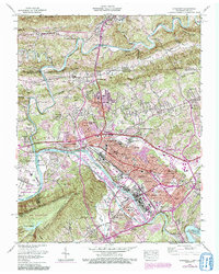
The industrial and civic expansion of Kingsport is documented here at a pivotal mid-century moment, showing the heavy concentration of manufacturing and infrastructure along the riverbanks. The South Fork Holston River serves as the primary corridor for development, with the Holston Ordnance Works and extensive rail lines like the Clinchfield Railroad and Southern Railway defining the local economy. The map captures a high level of suburban growth in areas like Lynn Garden, Borden Village, and Highland Park, while historical sites like Fort Robinson and the Old Pioneer Cem persist amidst the modern grid. To the south, the terrain rises sharply into Bays Mountain Park, where the Kingsport Reservoir and Dolan Gap provide a stark contrast to the dense network of schools, such as Dobyns-Bennett High School, and community landmarks that characterize the city center.
Find a feature on this map
122 named features on this map. Tap any name to fly to it.
Don’t see what you’re looking for? This feature index may not catch every label — zoom into the map to look around manually.
Map Details
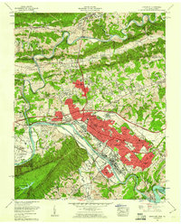
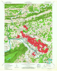
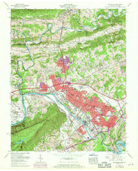
Editions of this 1959 Kingsport Map
6 editions found
Other maps of this area

1891 · Roan Mountain
USGS Topo · 1:125,000

1892 · Greeneville
USGS Topo · 1:125,000

1894 · Roan Mountain
USGS Topo · 1:125,000

1894 · Estillville
USGS Topo · 1:125,000

1896 · Greeneville
USGS Topo · 1:125,000

1897 · Bristol
USGS Topo · 1:125,000

1902 · Bristol
USGS Topo · 1:125,000

1904 · Roan Mountain
USGS Topo · 1:125,000

1904 · Greeneville
USGS Topo · 1:125,000

1935 · Hilton
USGS Topo · 1:24,000